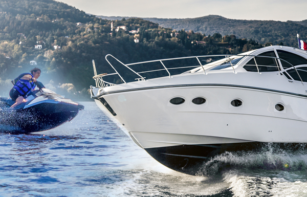
Thank you for your interest in the Coastal Navigation...it's Easy! program.
SkippaMate Marine Training & Services have been operating a maritime training business for many years. We developed The Coastal Navigation...it's Easy! program as a very low cost video training program to assist people in understanding the basics of coastal navigation.
OUR GUARANTEE: We are so confident of the Coastal Navigation...it's Easy! training program that upon completion of the online exercises we will provide you with a FREE coastal navigation assessment and a FREE report advising you if you will be successful completing a 3rd party assessment. If you are unsuccessful in the 3rd party assessment we will refund your money IN FULL. No questions asked!
The Coastal Navigation...it's Easy! program has been developed on the basis that coastal navigation is based on 3 important areas of knowledge:
- Knowing where you are
- Knowing where you are going to, and
- Knowing how to get there
You will learn how to achieve the answers to those 3 components in the first 3 chapters of the program. Everything else that we teach you will be a bonus. Remember you do not need to be a mathmetician, simple add and subtract is all that is required.
What you do need is a desire to learn to navigate and the ability to see it through. Coastal Navigation..it's Easy! will do the rest for you.
What you will receive:
- Coastal Navigation...it's Easy! Training Video
- Over 60 exercises with answers
- Tips, Tricks and Terminology
- Unlimited email contact with our experienced Trainers
By enrolling in the Coastal Navigation course you will:
- Learn Coastal Navigation Terminology
- Learn to interpret nautical chart features
- Understand chart reliability
- Identify charts symbols, dangers, soundings, lights etc
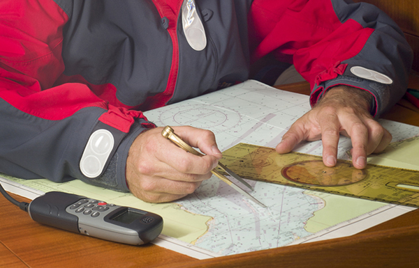
- Use nautical charts for plotting courses, dead reckoning (DR), estimated (EP) and confirmed (fixes) positions
- Learn how to plot Transits, measure distances and find directions
- Learn how to calculate and apply Set and Drift
- Understand the IALA Buoyage system
- Understand and use Speed, Time and Distance calculations
- Understand and apply Variation and Deviation to courses and bearings
- Be introduced to Radar for use in coastal navigation
- Conduct a simulated passage
- Understand and apply weather, tidal and current information
- Complete practical exercises and much, much more for only $US79.00
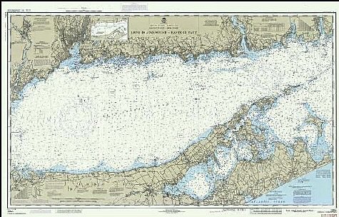
The USA Edition uses N.O.S Chart No. 12354 (TR) - LONG ISLAND SOUND
For further details check out the CONTENTS page. Like to know more? Send us an ENQUIRY or to purchase the program ORDER ONLINE today.